Jeff Banfield
University of Washington (1987)
8:00 minutes
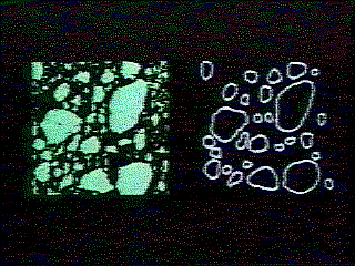
This clip was taken from the end of the video, and it shows two stages in the described work. From satellite images of ice-filled water, the larger chunks of ice are to be distinguished and outlined.
This video would be suitable both for the classroom and for 'statistics day' presentations.